Insights

<a href='https://tipstrategies.com/who-we-are/reece-neathery/'>Reece Neathery</a>

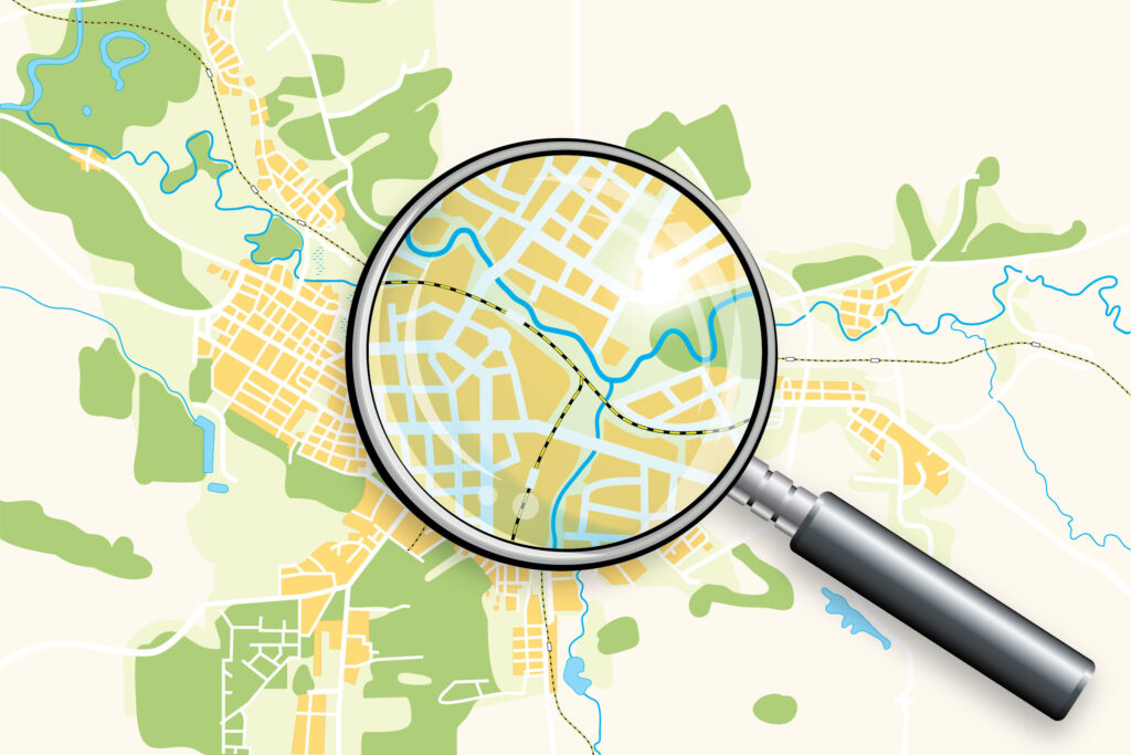
Map with a magnifying glass selecting road detail

Tracking Active Transportation Improvements with GIS

Transparent and well-documented implementation is key to the success of long-term planning efforts. GIS is an especially effective tool for tracking specific, place-based projects, including infrastructure and mobility improvements. Regional organizations and governments in places like Dallas-Fort Worth, Austin, and Seattle are using GIS maps to enhance accountability and ensure stakeholders can see tangible progress across multiple plans and agencies.

Tracking Active Transportation Improvements with GIS Read More

Placemaking Through Open Streets

Open streets policies put in place by some communities to ease the burden of restrictions on gathering during the COVID-19 pandemic have been extended from temporary solutions to permanent programs. The success of these policies in cities like Houston, Seattle, and Ann Arbor has demonstrated the value of intentionally shaping the built environment to promote social interaction and create vibrant public spaces.

Placemaking Through Open Streets Read More

Scroll to Top